How to Share Processed Aerial Data with Stakeholders
Turning Raw Aerial Data into Useful Information
Collecting aerial data with drones is only half the job. The real value comes when that data is processed, interpreted, and shared with the people who need it. Whether you are working with surveyors, engineers, project managers, or government agencies, the way you present your processed data can determine how quickly and confidently decisions are made. This article walks through the practical steps for sharing processed aerial data with stakeholders, from choosing the right format to controlling access and maintaining clarity.
Step 1: Understand What Each Stakeholder Needs
Before you export anything, take time to understand who will be viewing the data and what they need from it. A construction project manager may want to compare site progress with the previous week’s model. An environmental consultant might need multispectral indices to assess vegetation health. A municipal planner could require an orthomosaic for zoning evaluation.
Ask yourself: Is the stakeholder comfortable navigating a 3D model, or would they prefer a simple annotation on a 2D map? Do they need raw point clouds, or just finished overlays? Matching your output to the recipient’s technical comfort level saves time and reduces confusion. It also builds trust, because your data arrives ready for their workflow, not as a file dump they have to decode.
Step 2: Choose the Right Output Formats
Processed aerial data can be exported in many formats. GeoTIFFs are standard for orthomosaics and work well with GIS software. LAS or LAZ files store point cloud data for LiDAR surveys. Shapefiles or GeoJSON handle vector features like boundary lines or infrastructure markers. For stakeholders who just need to view the data without specialised software, a PDF with embedded maps or a lightweight web link is often best.
A common mistake is to send the largest, highest-resolution file available because it feels more thorough. In practice, huge files slow down load times and may force stakeholders to install new software. Instead, ask about their preferred tools. If they use AutoCAD, export a compatible format. If they work in Google Earth, a KMZ file is ideal. The goal is to make the data immediately usable, not to demonstrate every pixel your drone captured.
Step 3: Organise Data with Clear Naming and Metadata
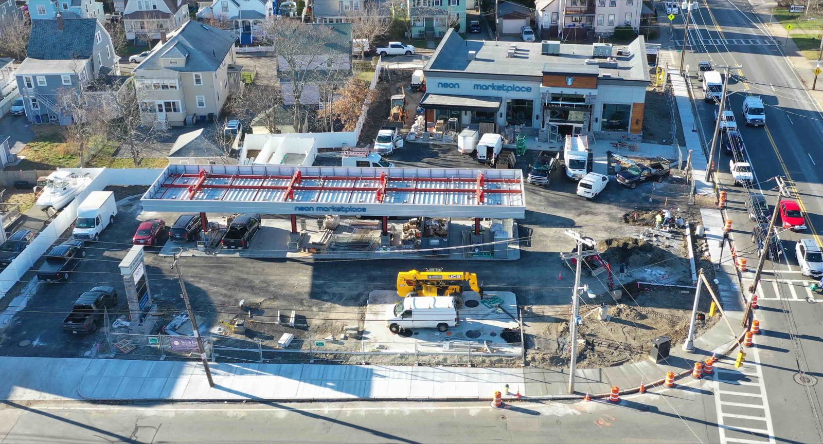
Nothing frustrates a stakeholder more than a folder full of files named “output_v2_final_3.tif”. Use a consistent naming convention that includes the project name, date, data type, and processing level. For example: “Greenway_Corridor_2025-03-28_Orthomosaic_RGB.tif” tells the recipient exactly what they are looking at.
Add a simple metadata file or embedded tags that describe the coordinate system, ground sample distance, date of capture, and any processing steps applied. This is especially important when data will be passed along to a third party, such as a subcontractor or regulatory reviewer. Good metadata prevents misinterpretation and avoids having to answer the same questions multiple times.
Step 4: Use an Aerial Imagery Platform for Controlled Sharing
Sharing files via email or a public cloud drive works for small projects, but it quickly becomes unmanageable as data volumes grow. An aerial imagery platform designed for drone data offers structured ways to upload, process, and share your results. Instead of sending large attachments, you invite stakeholders to view the data directly within the platform.
With such a platform, you can set access permissions so that each stakeholder sees only the layers or models relevant to them. You can also track who has viewed the data and whether they have downloaded it. This is particularly useful when you are working under a nondisclosure agreement or when the data contains sensitive infrastructure details. Platforms like the one offered by nationaldroneservices.net provide a centralised environment where everyone can work from the same version of the truth, reducing the chance of errors caused by outdated files.
Step 5: Add Annotations and Visual Guides
Raw processed data is powerful, but most stakeholders benefit from a few visual cues. Use the annotation tools within your platform to highlight areas of interest, mark changes between surveys, or note potential issues. For example, on a construction site you might circle a section where grading has not yet met specifications, or on an agricultural survey you could flag zones showing water stress.
Annotations turn a static map into a conversation starter. They show that you have already done some interpretation, which helps stakeholders focus on the decisions rather than the data itself. Just be careful not to clutter the view. Keep your annotations sparse and use a legend so the recipient knows exactly what each symbol or colour means.
Step 6: Share in a Collaborative, Not Just Broadcast, Way
Data sharing should not be a one-way delivery. Encourage stakeholders to ask questions, add their own notes, or request additional layers. If your aerial imagery platform supports commenting or markup, invite people to use it. This turns the data into a collaborative tool rather than a static report.
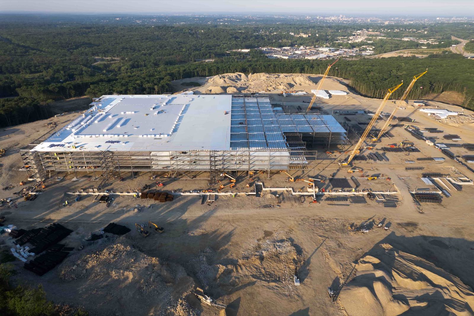
For example, a project engineer might notice a drainage issue in the orthomosaic and mark it for follow-up. A surveyor could correct a boundary line directly on the shared model. Over time, this reduces email chains and helps everyone stay aligned. The platform from National Drone Services is built around this kind of collaborative workflow, allowing users to visualise, compare, and measure data without leaving the shared environment.
Step 7: Schedule Regular Updates and Version Control
If your project involves repeated flights, such as weekly progress monitoring, establish a cadence for sharing updates. Let stakeholders know when to expect new data and what has changed since the last upload. Version control is critical here. Always label each upload with its date and keep previous versions accessible. This way, if someone needs to check what a site looked like a month ago, they can do so without digging through old emails.
Most aerial imagery platforms maintain a version history automatically. Take advantage of that feature. It saves you the trouble of archiving old files manually and ensures that no one accidentally overwrites a previous model. It also builds accountability, because every change is logged and attributable.
Step 8: Provide a Brief Summary or Report
Even when stakeholders can explore the data themselves, include a short written summary that highlights the key findings. This does not need to be long, a few paragraphs or a bullet list covering the main observations, measurements, and any recommended actions. The summary acts as a guide, helping busy stakeholders quickly grasp what matters most before diving into the details.
If the data is part of a regulatory submission or a formal review, make sure the summary references the specific files or layers that support each point. This kind of structured reporting saves time during audits and shows that your work is thorough and well documented.
Watching for Common Pitfalls
One common mistake is assuming that everyone sees the same thing you do on your screen. Colour calibration, screen resolution, and software defaults can all affect how an orthomosaic or thermal map appears. When possible, set a standard viewing mode within your platform and ask stakeholders to use it. Another pitfall is neglecting to check that shared links work and that permissions are correct before you announce the data is ready. Test each link with a colleague who has the same access level as the intended recipient.

Finally, be mindful of data security. Processed aerial data can reveal sensitive details about infrastructure, crop yields, or site conditions. Use password-protected links, expiration dates for shared access, and avoid uploading to public galleries unless you have explicit permission. A secure aerial imagery platform gives you control over these settings, so use them consistently.
Making Data Sharing a Natural Part of Your Workflow
Sharing processed aerial data does not have to be a chore. With a clear process and the right tools, it becomes a smooth extension of your data collection and processing work. The key is to think about the recipient first: What do they need? How do they like to work? Then choose formats, permissions, and presentation methods that fit their situation.
An aerial imagery platform that handles uploads, processing, and sharing in one place reduces the friction of moving data between systems. Whether you are working on a small farm survey or a large infrastructure project, the same principles apply: prepare your data thoughtfully, share it securely, and keep the conversation going. By following these steps, you ensure that your processed aerial data leads to better decisions, not just more file transfers.
National Drone Services on social media
 Facebook